Project :: King Solomon
Silver, Lead, Zinc
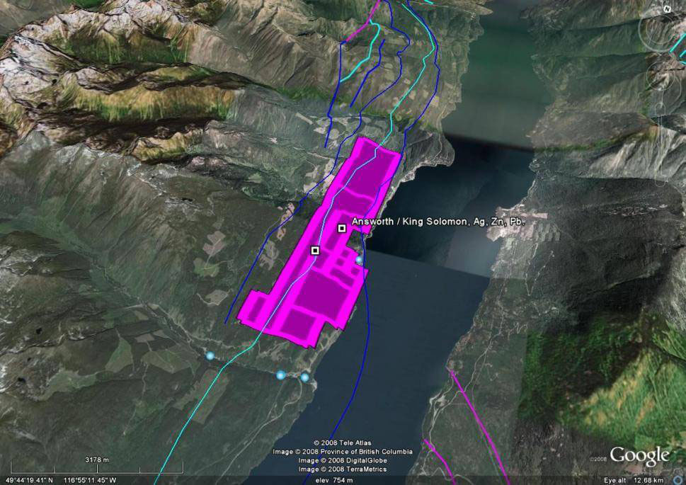
Ainsworth, B.C.
 The King Solomon project is located in the heart of the historic Ainsworth Mining Camp which was the location of a famous silver rush at the turn of the century. Over 50 mines operated in the region, primarily between the 1880s to the 1920s, of which a large number were located on the mineral tenures purchased by Liberty. The property is potential for a large deep seated deposit of silver, lead and zinc.
The first mineral claim in the Ainsworth camp was around 1884 with most of the claims/Crown grants distributed between then and 1900 of which many are still active especially in the northern half of the Liberty tenures from the town of Ainsworth north.
 The majority of the underlying Crown grants on the southern half of the property, which Liberty considers the most prospective part of the Ainsworth tenures, have been receded to the Crown.
The property is situated on the western edge of the Ainsworth Hot Springs and extends approximately 4.5 km in each direction, north and south from the hot springs.
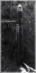
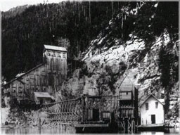
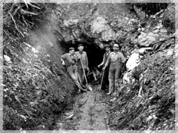
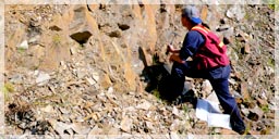
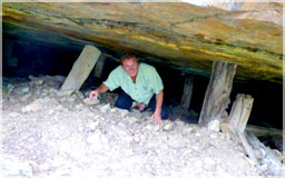
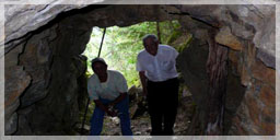
Abundant outcropping, old ore piles, and numerous adits are located throughout the property.
The southern half of the Ainsworth tenures cover many of the larger producing historic silver mines including the Banker, Albion, Little Phil, Little Donald, King Solomon and the famous Highlander as well as the Krao, Crow Fledgling, Dictator, Spokane, Bonita and several others.
 The high grades of silver lead zinc mined from relatively shallow mine shafts and cross drifts at the turn of the century to early 1920s (and some sporadically into the 1950s), coupled with their proximity to the angle at which Cominco was reportedly mining the large ore body under Kootenay Lake from northeast to southwest (1960s), suggest that the Ainsworth claims may contain a deep extension of the famous Bluebell Deposit situated across the lake at Riondell which was a large replacement style deposit in Badshot Limestone.
No Badshot Formation Limestone has been identified yet on the Ainsworth property suggesting the formation was either cut off under the lake or is located at a deeeper depth than previous limited drilling encountered.
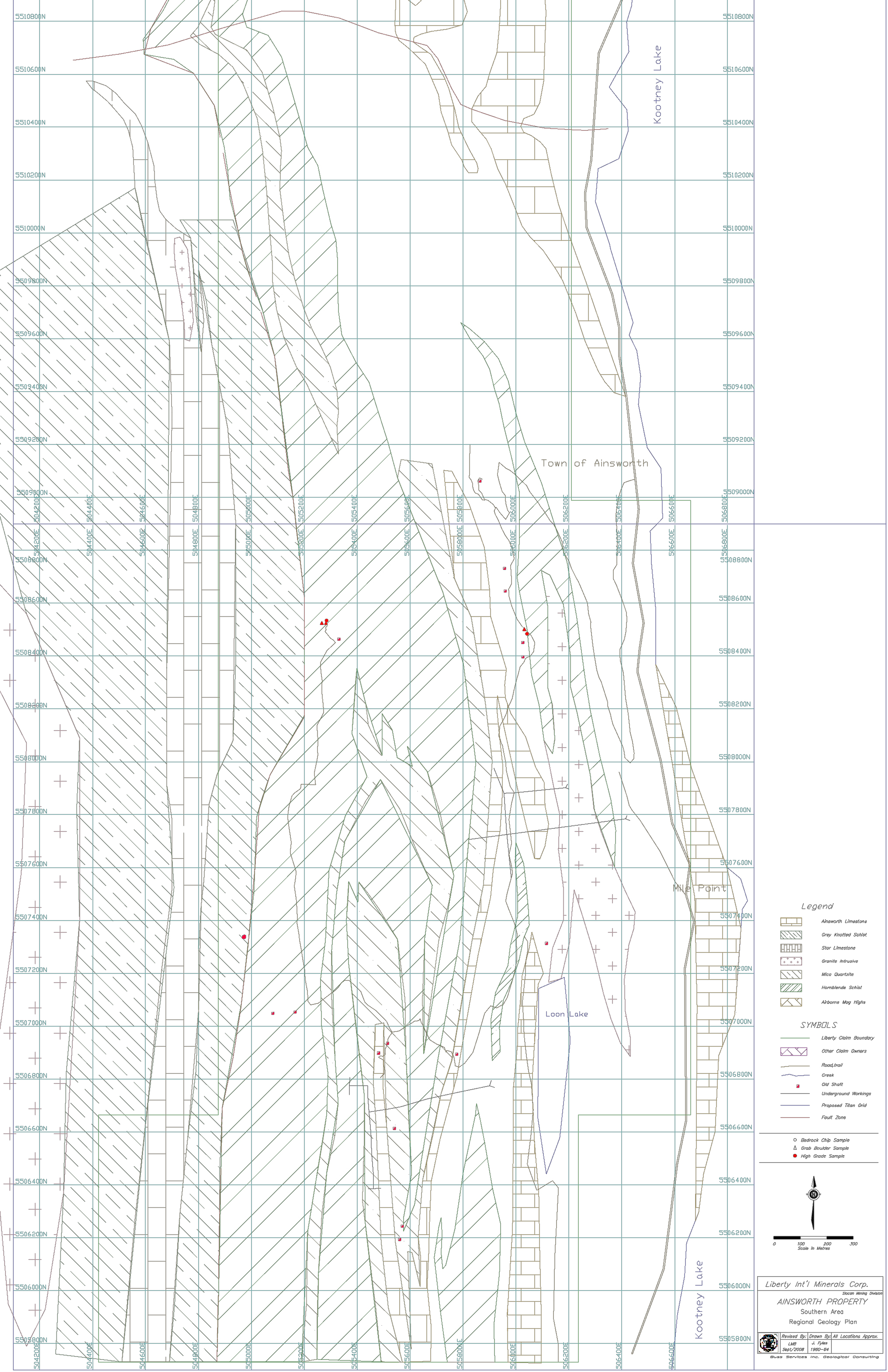
The geography of the area is a series of stepped ridges extending upwards to the west and parallel to Kootenay Lake. There are generally three northerly trending strike-slip faults that divide the region into four parallel slices. They generally dip westerly and have numerous, smaller fault, off shoots, sub parallel to the main faults.
The major metamorphosed units, from east to west, include the Ainsworth limestone, Star limestone, interlayered mica schist and hornblende schist. Grey knotted schist rests against the batholith. Numerous elongated granite pegmatites and granitic sills occur in conjunction with a lesser amount of lamprophyre dikes.
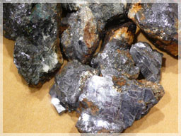
Mineralization of the property consists of galena, sphalerite, and pyrite, with a lesser amount of chalcopyrite. A majority of the mineralization occurs in the hornblende schist unit which is highly silicified.
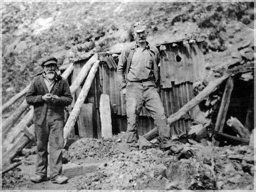
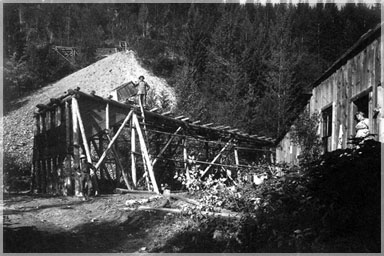
 The first production on the Ainsworth property was in 1889. Total production in the area was from 50 properties which produced 763,826 short tons of ore, up to 1964 (GBAR# 8992). The Florence, Highlander, Highland and No.1 claim blocks had the largest production at more than 40,000 tons of ore each.
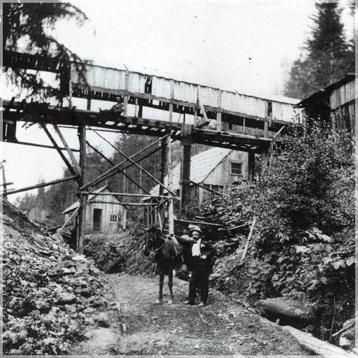
Two mills were built in the 1950s and operated until 1961. One was located below the Highlander Mine, while the other one was for the Florence and area ore. Only a few of the larger mines went down to the 200 meter level and most were closed in the early 1920s due to the low silver prices of the times coupled with water problems at depth.
The closest producing mine to the recently sampled area is the Banker Mine which produced 4,346 tonnes @ 1,916,941 g silver, 1,016,876,000 g lead, 25,567,000g of zinc and 31 g of gold from 1909 to 1960 (MINFILE O82FNE029). All figures are not 43-101 compliant.
 The main exploration programs in this area concentrated on discovering the down plunge extension of the Bluebell Mine which operated on the east side of the lake near Riondell. The Bluebell mining area lies within the Badshot Formation and operated from 1895 to 1982. It produced 4,820,029 tonnes at an average grade of 45.85 g/t Silver, 5.17% Zinc, 4.85% Lead, 0.06% Copper, 0.02% Cadmium and 0.02 g/t Gold (Minfile # 082FNE043). Conversely, the 50 Ainsworth area properties produced a total of 692,960 tonnes with an average grade of 193.6 g/t Silver, 1.10 % Zinc, 6.22% Lead, 0.01% Cadmium and 0.02 g/t Gold (Letniter, 1997).
 Cominco explored the area from 1952 to 1957 looking for a deep seated limestone replacement type deposit, similar to the Bluebell ore zones on the eastern side of the Kootenay Lake. A return exploration program reportedly in the late 70s (no details or verification available) is alleged to have been conducted. Four holes are rumored to have been drilled to over 300 meter depths with very encouraging results of mineralization at depth which are said to have been locked away without being publicly reported. Under new management with Tech the Canadian claims were gradually relinquished, all except for the Schaefer Crown Grant by Loon Lake in the south which had been renamed the Center Star.
 If there is an extension of the Bluebell on these tenures, it would be deeper than any present working and known past drill programs, as it has not been located yet. Therefore exploring for such a deposit would require deep geophysical and drilling methodologies.
 Consequently, it is Libertys intention to conduct a deep earth imaging geophysics program over the southern area using Titan 24 or some equivalent to determine potential drill targets by means of highly advanced geophysics and, if successful, drill the property to depths of greater than 300 meters to determine if the verbal reports are accurate or simply prospectors tales.
Accessibility to the area is good with plenty of logging roads throughout and average snowfall amounts for the area. Infrastructure in the area is excellent with Ainsworth less than a kilometer away and the City of Nelson being 45 km to the south.
Railway and hydro lines follow the highway #3A/31 corridor.